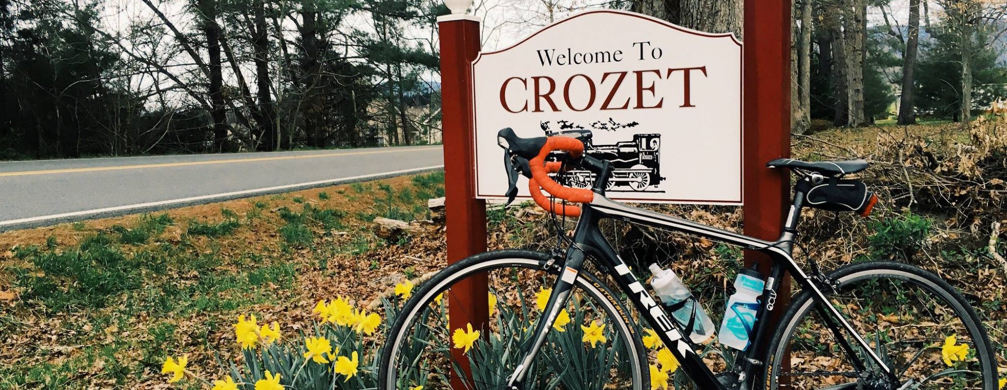
An interesting nugget in this week’s Charlottesville Community Engagement “Week Ahead” email (a weekly must-read):
There’s a request to set a future public hearing to designate Route 240 and Route 810 in western Albemarle as a Virginia By-Way (staff report)
From Albemarle County’s letter, in part:
This route was recommended by DCR’s 2013 Virginia Outdoors Plan as a potential Virginia Byway. The interest is to collaborate with Greene County to designate Rt 240/Rt 810 as a Virginia Byway from Crozet to Stanardsville in Greene County. This designation would connect other Virginia Byways in Albemarle County: Rt 250 Rockfish Gap Turnpike and Rt 676 Garth Rd. The US Bike Route 76 also travels on Rt 810 White Hall Rd from Garth Rd south to Buck Rd in Crozet.
The proposed segment of Rt 240 (Crozet Ave) passes through the downtown Crozet Historic District, changes to Rt 810 (White Hall Rd) passing scenic farmlands, vineyards, and orchards while it becomes Brown’s Gap Turnpike passing bed and breakfasts, artisan studios and artisanal farms where it changes names once more at Dolye’s River bridge to become Blackwells Hollow Rd heading northwest along the mountain foothills into Greene County. The entire proposed corridor is approximately 30 miles between Rt 250 in Western Albemarle and Rt 33 in Greene County.
Sounds like a nice place to live. And ride a bicycle.


And, what would this Byway designation mean?
Crozet Ave in Old Crozet a ‘scenic byway’? If VA wants better scenic byways, how about a little extra asphalt for decent bike lanes?